Yorkshire will be warmer than Greece this week as cold snap gives way to warmer temperatures


Much of the county was left in the grip of the icy blast last week as snow, ice and high winds caused transport havoc and left temperatures struggling to break above freezing.
The latest dumping of snow on Sunday saw northern parts of Yorkshire facing up to substantial blizzards and drifts as the UK faced up to its coldest night for two years.
Advertisement
Hide AdAdvertisement
Hide AdHowever, the Met Office forecasters are predicting a drier and milder week ahead.
Temperatures could even rise into double figures - potentially as high as 14C in some areas by Tuesday (today), beating the predicted 9C in Athens, Greece, and 13C in Rome, Italy.
There is, however, likely to be more sunshine on the continent!
A spokeswoman for the Met Office said: “We are looking at temperatures improving, with Tuesday likely to be the mildest day of the week.
Advertisement
Hide AdAdvertisement
Hide Ad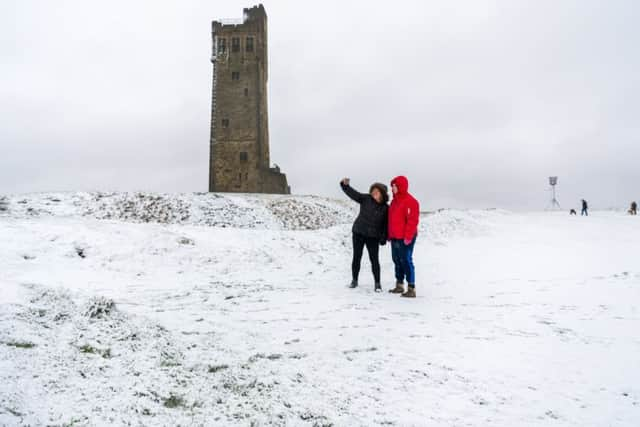
“As we get towards the end of the week, things do get cooler but not as cold as we have had.”
Temperatures are expected to lower to between 8C and 10C by the end of the week.
“We are looking at a fairly unsettled picture as we go through the week,” the spokeswoman said. “It will be changeable but in between that there are some sunny spells.”
There is potential for snow over higher ground in the north at the end of the week.
Advertisement
Hide AdAdvertisement
Hide Ad
Floods induced by heavy rain forced the evacuation of some homes in Devon on Sunday. Five flood warnings for people to take “immediate action” remain in Northampton, Wiltshire, Cornwall, Herefordshire and Somerset.
There are a further 61 flood alerts across the UK, urging people to “be prepared”, but no weather warnings.
Met Office weather forecast:
Monday:

A dry day, and less cold than recently, with some bright or sunny spells. The best of these will be towards the North Sea coast. However there could also be the odd shower, mainly across the Pennines. Maximum Temperature 8 °C.
Monday night:
A chilly evening, with some clear spells possible. However cloud will soon thicken from the west and winds will also strengthen. Outbreaks of rain are then likely by dawn. Minimum Temperature 3 °C.
Tuesday:
Advertisement
Hide AdAdvertisement
Hide AdCloudy, and milder with outbreaks of rain or drizzle, and strong winds continuing during the morning. These clearing to sunny spells and occasional blustery showers through the afternoon. Maximum Temperature 14 °C.
Outlook for Wednesday to Friday:
Overnight rain clears east early Wednesday, to sunny spells and showers, and turning very windy. Cold on Thursday with sunshine and showers. Bright, frosty start Friday, before cloud thickens later.