Leeds heatwave to be ended by mega thunder and lightning storms on Saturday


As news broke this week about the sub zero snap which is heading our way, it turns out we're going to have to battle with thunder and lightning first.
The forecast for Saturday
Things will start out well enough. Sunny spells and highs of 19 degrees through the day will give you plenty of reason to head to the beach
Advertisement
Hide AdAdvertisement
Hide Ad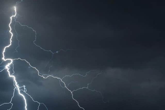
But sadly, it won't last. The sun will start to go in from about 2pm, leading to clouds
Mega thunder and lightning
The thunder will roll in from about 9pm, with heavy thunderstorms, rain and lightning all expected in the evening along with wind.
Hopefully it won't be as loud or scary as the massive thunder and lightning crash in Leeds two weeks ago, which was described as 'like a bomb' when it went off in the middle of the day.
What the Met Office says:
Saturday:
"Early mist patches dispersing to leave another dry day with plenty of warm sunshine. High cloud may spread northwards later, culminating in a risk of heavy, potentially thundery evening showers. Maximum temperature 21 °C."
Outlook for Sunday to Tuesday:
This period starting fine, but soon becoming more changeable and breezier. While some sunny spells are still possible, it will be cloudier and cooler with a little rain at times.